
Louis topographic map
Interactive map
Click on the map to display elevation.
About this map
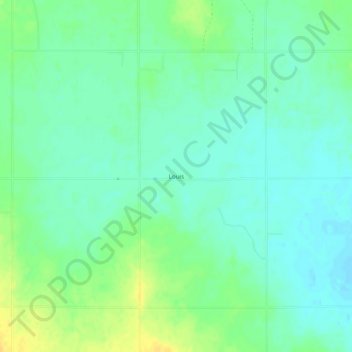
Name: Louis topographic map, elevation, terrain.
Location: Louis, Harmon County, Oklahoma, USA (34.54535 -99.82149 34.58535 -99.78149)
Average elevation: 463 m
Minimum elevation: 454 m
Maximum elevation: 479 m