
Morten topographic map
Interactive map
Click on the map to display elevation.
About this map
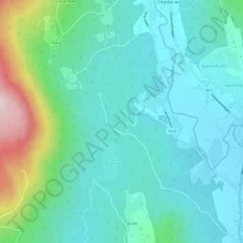
Name: Morten topographic map, elevation, terrain.
Location: Morten, Burås, Hurdal, Akershus, 2090, Norway (60.42539 11.02793 60.44539 11.04793)
Average elevation: 259 m
Minimum elevation: 178 m
Maximum elevation: 559 m