
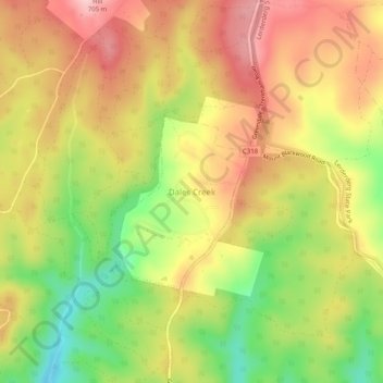
Dales Creek topographic map
Interactive map
Click on the map to display elevation.
About this map
Name: Dales Creek topographic map, elevation, terrain.
Location: Dales Creek, Shire of Moorabool, Victoria, Australia (-37.54186 144.28315 -37.50186 144.32315)
Average elevation: 602 m
Minimum elevation: 488 m
Maximum elevation: 697 m
Victoria trails, hiking, mountain biking, running and outdoor activities