
Border topographic map
Interactive map
Click on the map to display elevation.
About this map
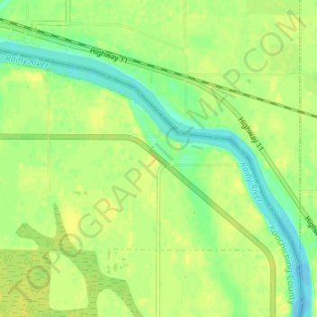
Name: Border topographic map, elevation, terrain.
Location: Border, Koochiching County, Minnesota, USA (48.67663 -94.29825 48.71663 -94.25825)
Average elevation: 333 m
Minimum elevation: 321 m
Maximum elevation: 340 m