
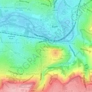
Magdalen Gardens topographic map
Interactive map
Click on the map to display elevation.
About this map
Name: Magdalen Gardens topographic map, elevation, terrain.
Average elevation: 67 m
Minimum elevation: 16 m
Maximum elevation: 170 m
Other topographic maps
Click on a map to view its topography, its elevation and its terrain.
Lam Brook
United Kingdom > England > Bath
Lam Brook, Bath, Bath and North East Somerset, South West England, England, BA1 6TB, United Kingdom
Average elevation: 80 m