
Leobersdorf topographic map
Interactive map
Click on the map to display elevation.
About this map
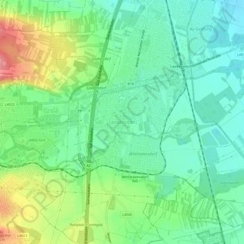
Name: Leobersdorf topographic map, elevation, terrain.
Location: Leobersdorf, Bezirk Baden, Niederösterreich, 2544, Österreich (47.90853 16.19667 47.94853 16.23667)
Average elevation: 274 m
Minimum elevation: 244 m
Maximum elevation: 334 m