
Idlewild topographic map
Interactive map
Click on the map to display elevation.
About this map
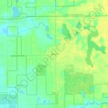
Name: Idlewild topographic map, elevation, terrain.
Location: Idlewild, Lake County, Michigan, 49642, USA (43.86696 -85.82256 43.90696 -85.78256)
Average elevation: 258 m
Minimum elevation: 246 m
Maximum elevation: 269 m