
Onida topographic map
Interactive map
Click on the map to display elevation.
About this map
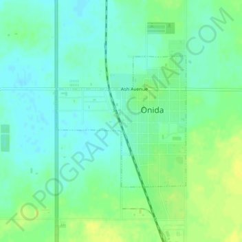
Name: Onida topographic map, elevation, terrain.
Location: Onida, Sully County, South Dakota, USA (44.69701 -100.08055 44.71169 -100.06018)
Average elevation: 571 m
Minimum elevation: 563 m
Maximum elevation: 582 m