
Bhaniyawala topographic map
Interactive map
Click on the map to display elevation.
About this map
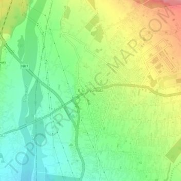
Name: Bhaniyawala topographic map, elevation, terrain.
Location: Bhaniyawala, Dehra Dūn, Dehradun, Uttarakhand, India (30.16631 78.12850 30.20631 78.16850)
Average elevation: 510 m
Minimum elevation: 470 m
Maximum elevation: 568 m