
South Tyneside topographic map
Interactive map
Click on the map to display elevation.
About this map
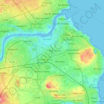
Name: South Tyneside topographic map, elevation, terrain.
Average elevation: 29 m
Minimum elevation: -3 m
Maximum elevation: 108 m
Other topographic maps
Click on a map to view its topography, its elevation and its terrain.
Newcastle upon Tyne
United Kingdom > England > Tyne and Wear > Newcastle upon Tyne
Average elevation: 78 m