
CFS Alert topographic map
Interactive map
Click on the map to display elevation.
About this map
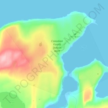
Name: CFS Alert topographic map, elevation, terrain.
Location: CFS Alert, Qikiqtaaluk Region, Nunavut, Canada (82.48889 -62.54169 82.52859 -62.13865)
Average elevation: 31 m
Minimum elevation: -2 m
Maximum elevation: 133 m