
Nyabing topographic map
Interactive map
Click on the map to display elevation.
About this map
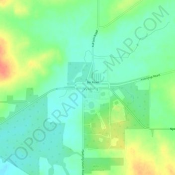
Name: Nyabing topographic map, elevation, terrain.
Location: Nyabing, Shire of Kent, Western Australia, Australia (-33.56096 118.12789 -33.52096 118.16789)
Average elevation: 333 m
Minimum elevation: 315 m
Maximum elevation: 365 m
Western Australia trails, hiking, mountain biking, running and outdoor activities