
Prairie topographic map
Interactive map
Click on the map to display elevation.
Prairie
Certain extraordinary features were produced when the retreat of the ice sheet had progressed so far as to open an eastward outlet for the marginal lakes. This outlet occurred along the depression between the northward slope of the Appalachian plateau in west-central New York and the southward slope of the melting ice sheet. When this eastward outlet came to be lower than the south-westward outlet across the height of land to the Ohio or Mississippi river, the discharge of the marginal lakes was changed from the Mississippi system to the Hudson system. Many well-defined channels, cutting across the north-sloping spurs of the plateau in the neighborhood of Syracuse, New York, mark the temporary paths of the ice-bordered outlet river. Successive channels are found at lower and lower levels on the plateau slope, indicating the successive courses taken by the lake outlet as the ice melted farther and farther back. On some of these channels, deep gorges were eroded heading in temporary cataracts which exceeded Niagara in height but not in breadth. The pools excavated by the plunging waters at the head of the gorges are now occupied by little lakes. The most significant stage in this series of changes occurred when the glacio-marginal lake waters were lowered so that the long escarpment of Niagara limestone was laid bare in western New York. The previously confluent waters were then divided into two lakes. The higher one, Lake Erie, supplied the outflowing Niagara River, which poured its waters down the escarpment to the lower, Lake Ontario. This gave rise to Niagara Falls. Lake Ontario's outlet for a time ran down the Mohawk Valley to the Hudson River. At this higher elevation, it was known as Lake Iroquois. When the ice melted from the northeastern end of the lake, it dropped to a lower level, and drained through the St. Lawrence area. This created a lower base level for the Niagara River, increasing its erosive capacity.
About this map
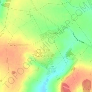
Name: Prairie topographic map, elevation, terrain.
Average elevation: 136 m
Minimum elevation: 101 m
Maximum elevation: 168 m