
Millgrove topographic map
Interactive map
Click on the map to display elevation.
About this map
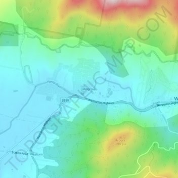
Name: Millgrove topographic map, elevation, terrain.
Location: Millgrove, Shire of Yarra Ranges, Victoria, Australia (-37.77150 145.64120 -37.73150 145.68120)
Average elevation: 268 m
Minimum elevation: 116 m
Maximum elevation: 715 m
Victoria trails, hiking, mountain biking, running and outdoor activities