
Givskud topographic map
Interactive map
Click on the map to display elevation.
About this map
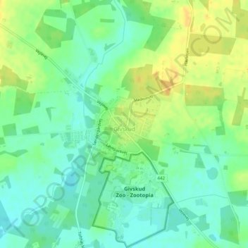
Name: Givskud topographic map, elevation, terrain.
Location: Givskud, Vejle Kommune, Zuid-Denemarken, Denemarken (55.81216 9.33701 55.81953 9.35565)
Average elevation: 90 m
Minimum elevation: 78 m
Maximum elevation: 105 m