
Norefjell topographic map
Interactive map
Click on the map to display elevation.
About this map
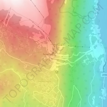
Name: Norefjell topographic map, elevation, terrain.
Location: Norefjell, Krødsherad, Buskerud, 0622, Noorwegen (60.19829 9.55028 60.23829 9.59028)
Average elevation: 580 m
Minimum elevation: 131 m
Maximum elevation: 1,123 m