
Kolnes topographic map
Interactive map
Click on the map to display elevation.
About this map
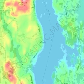
Name: Kolnes topographic map, elevation, terrain.
Location: Kolnes, Karmøy, Rogaland, 5541, Noorwegen (59.36812 5.35293 59.40812 5.39293)
Average elevation: 37 m
Minimum elevation: -1 m
Maximum elevation: 139 m