
Flå topographic map
Interactive map
Click on the map to display elevation.
About this map
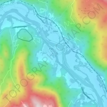
Name: Flå topographic map, elevation, terrain.
Location: Flå, Buskerud, 3539, Noorwegen (60.40840 9.44373 60.44840 9.48373)
Average elevation: 285 m
Minimum elevation: 130 m
Maximum elevation: 757 m