
SPRI topographic map
Interactive map
Click on the map to display elevation.
About this map
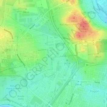
Name: SPRI topographic map, elevation, terrain.
Location: SPRI, Czeladź, powiat będziński, GZM, Silésie, 41-214, Pologne (50.29273 19.10188 50.31273 19.12188)
Average elevation: 272 m
Minimum elevation: 251 m
Maximum elevation: 309 m