
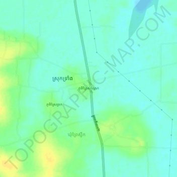
ភូមិព្រៃសណ្ដែក topographic map
Interactive map
Click on the map to display elevation.
About this map
Name: ភូមិព្រៃសណ្ដែក topographic map, elevation, terrain.
Location: ភូមិព្រៃសណ្ដែក, ស្រុកទ្រាំង, Takéo, Cambodge (10.88462 104.76304 10.92462 104.80304)
Average elevation: 10 m
Minimum elevation: 2 m
Maximum elevation: 23 m