
पाल्पा (Palpa) topographic map
Interactive map
Click on the map to display elevation.
About this map
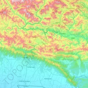
Name: पाल्पा (Palpa) topographic map, elevation, terrain.
Location: पाल्पा (Palpa), Province #5, 32500, Népal (27.66167 83.23053 27.95918 84.02844)
Average elevation: 730 m
Minimum elevation: 93 m
Maximum elevation: 2,507 m