
Nangeenan topographic map
Interactive map
Click on the map to display elevation.
About this map
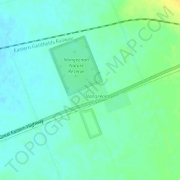
Name: Nangeenan topographic map, elevation, terrain.
Location: Nangeenan, Western Australia, Australia (-31.52556 118.15610 -31.50556 118.17610)
Average elevation: 276 m
Minimum elevation: 268 m
Maximum elevation: 291 m
Western Australia trails, hiking, mountain biking, running and outdoor activities