
Clemmons topographic map
Interactive map
Click on the map to display elevation.
About this map
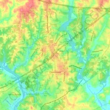
Name: Clemmons topographic map, elevation, terrain.
Location: Clemmons, Forsyth County, North Carolina, 27012, USA (35.99122 -80.43277 36.07895 -80.35237)
Average elevation: 235 m
Minimum elevation: 205 m
Maximum elevation: 276 m