
Palm Island topographic map
Interactive map
Click on the map to display elevation.
About this map
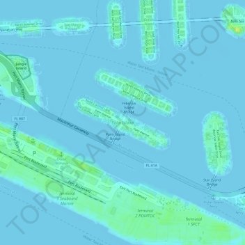
Name: Palm Island topographic map, elevation, terrain.
Location: Palm Island, Miami Beach, Miami-Dade County, Florida, USA (25.77681 -80.16817 25.78297 -80.15640)
Average elevation: 2 m
Minimum elevation: -4 m
Maximum elevation: 18 m