
Gascoyne topographic map
Interactive map
Click on the map to display elevation.
About this map
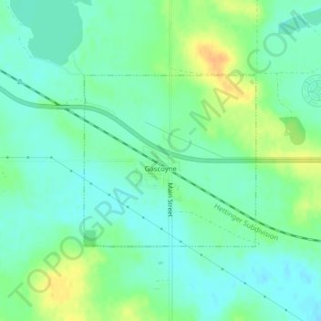
Name: Gascoyne topographic map, elevation, terrain.
Location: Gascoyne, Bowman County, North Dakota, United States (46.11176 -103.08926 46.12618 -103.06832)
Average elevation: 842 m
Minimum elevation: 831 m
Maximum elevation: 863 m