
Margret topographic map
Interactive map
Click on the map to display elevation.
About this map
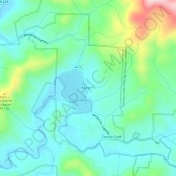
Name: Margret topographic map, elevation, terrain.
Location: Margret, Fannin County, Georgia, USA (34.73453 -84.16603 34.77453 -84.12603)
Average elevation: 683 m
Minimum elevation: 589 m
Maximum elevation: 980 m