
Sipi topographic map
Interactive map
Click on the map to display elevation.
About this map
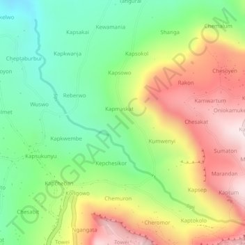
Name: Sipi topographic map, elevation, terrain.
Location: Sipi, Kapchorwa, Eastern Region, Uganda (1.33807 34.35653 1.36067 34.38238)
Average elevation: 1,538 m
Minimum elevation: 1,295 m
Maximum elevation: 1,818 m