
Yarrunga topographic map
Interactive map
Click on the map to display elevation.
About this map
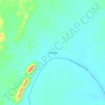
Name: Yarrunga topographic map, elevation, terrain.
Location: Yarrunga, Western Australia, Australia (-17.88802 127.87519 -17.84802 127.91519)
Average elevation: 330 m
Minimum elevation: 307 m
Maximum elevation: 432 m
Western Australia trails, hiking, mountain biking, running and outdoor activities