
Glasgo topographic map
Interactive map
Click on the map to display elevation.
About this map
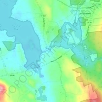
Name: Glasgo topographic map, elevation, terrain.
Location: Glasgo, New London County, Connecticut, 06351:06365, USA (41.53593 -71.90813 41.57593 -71.86813)
Average elevation: 77 m
Minimum elevation: 46 m
Maximum elevation: 164 m