
Lac Pollard topographic map
Interactive map
Click on the map to display elevation.
About this map
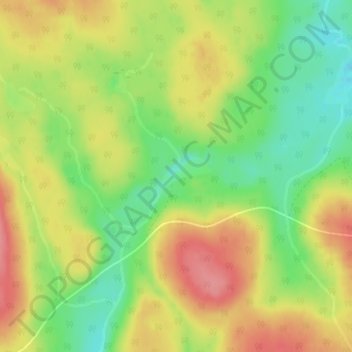
Name: Lac Pollard topographic map, elevation, terrain.
Average elevation: 348 m
Minimum elevation: 304 m
Maximum elevation: 391 m
Other topographic maps
Click on a map to view its topography, its elevation and its terrain.
Lac-Mitis
Canada > Québec > Lac-des-Eaux-Mortes
Lac-Mitis, Lac-des-Eaux-Mortes, La Mitis, Bas-Saint-Laurent, Québec, Canada
Average elevation: 327 m