
Hunter topographic map
Interactive map
Click on the map to display elevation.
About this map
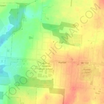
Name: Hunter topographic map, elevation, terrain.
Location: Hunter, Warren County, Ohio, USA (39.48453 -84.30977 39.50675 -84.27360)
Average elevation: 257 m
Minimum elevation: 224 m
Maximum elevation: 283 m