
Umpherston Sinkhole topographic map
Interactive map
Click on the map to display elevation.
About this map
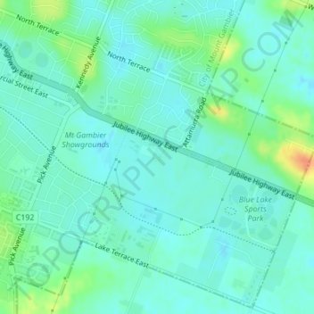
Name: Umpherston Sinkhole topographic map, elevation, terrain.
Average elevation: 45 m
Minimum elevation: 34 m
Maximum elevation: 77 m
Other topographic maps
Click on a map to view its topography, its elevation and its terrain.
Blue Lake
Australia > South Australia > Mount Gambier
Blue Lake, Mount Gambier, City of Mount Gambier, South Australia, 5290, Australia
Average elevation: 53 m