
Falcon Heights topographic map
Interactive map
Click on the map to display elevation.
About this map
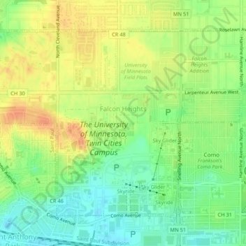
Name: Falcon Heights topographic map, elevation, terrain.
Location: Falcon Heights, Ramsey County, Minnesota, USA (44.97715 -93.19738 44.99904 -93.15656)
Average elevation: 291 m
Minimum elevation: 271 m
Maximum elevation: 310 m