
Wartburg topographic map
Interactive map
Click on the map to display elevation.
About this map
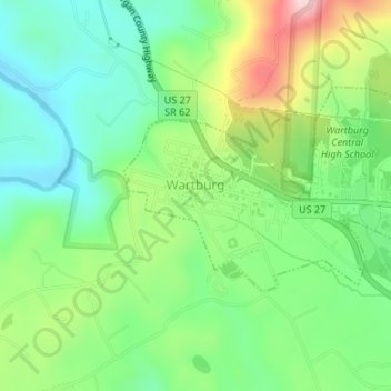
Name: Wartburg topographic map, elevation, terrain.
Location: Wartburg, Morgan County, Tennessee, USA (36.09733 -84.60347 36.11076 -84.57057)
Average elevation: 404 m
Minimum elevation: 308 m
Maximum elevation: 583 m