
Goshen Springs topographic map
Interactive map
Click on the map to display elevation.
About this map
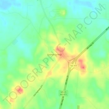
Name: Goshen Springs topographic map, elevation, terrain.
Location: Goshen Springs, Rankin County, Mississippi, USA (32.45070 -89.93591 32.49070 -89.89591)
Average elevation: 113 m
Minimum elevation: 90 m
Maximum elevation: 148 m