
Gelong topographic map
Interactive map
Click on the map to display elevation.
About this map
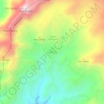
Name: Gelong topographic map, elevation, terrain.
Location: Gelong, KABUPATEN MANGGARAI, East Nusa Tenggara, Indonesia (-8.62732 120.28114 -8.58732 120.32114)
Average elevation: 999 m
Minimum elevation: 605 m
Maximum elevation: 1,530 m