
Citeureup topographic map
Interactive map
Click on the map to display elevation.
About this map
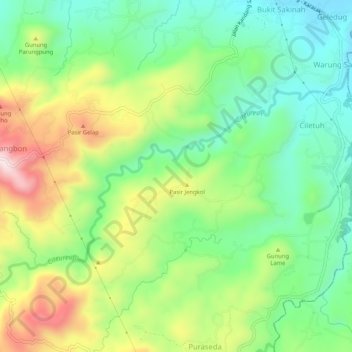
Name: Citeureup topographic map, elevation, terrain.
Location: Citeureup, Bogor, West Java, 16640, Indonesia (-6.63532 106.59131 -6.60320 106.64299)
Average elevation: 425 m
Minimum elevation: 244 m
Maximum elevation: 728 m
Other topographic maps
Click on a map to view its topography, its elevation and its terrain.