
Waterval topographic map
Interactive map
Click on the map to display elevation.
About this map
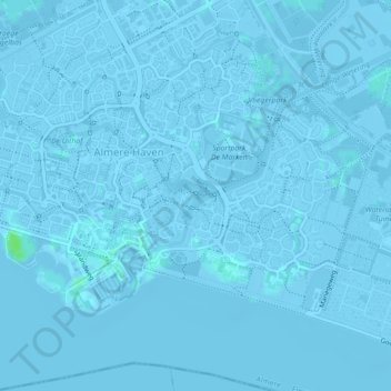
Name: Waterval topographic map, elevation, terrain.
Location: Waterval, Almere, Flevoland, Nederland, 1357AA, Nederland (52.33756 5.22741 52.33766 5.22751)
Average elevation: -1 m
Minimum elevation: -6 m
Maximum elevation: 7 m
Other topographic maps
Click on a map to view its topography, its elevation and its terrain.