
Dayton topographic map
Interactive map
Click on the map to display elevation.
About this map
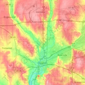
Name: Dayton topographic map, elevation, terrain.
Location: Dayton, Montgomery County, Ohio, United States (39.70185 -84.31138 39.92082 -84.09294)
Average elevation: 270 m
Minimum elevation: 212 m
Maximum elevation: 317 m