
Rostrevor topographic map
Interactive map
Click on the map to display elevation.
About this map
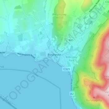
Name: Rostrevor topographic map, elevation, terrain.
Location: Rostrevor, County Down, Northern Ireland, United Kingdom (54.08073 -6.22043 54.12073 -6.18043)
Average elevation: 78 m
Minimum elevation: 0 m
Maximum elevation: 442 m