
San Rafael topographic map
Interactive map
Click on the map to display elevation.
About this map
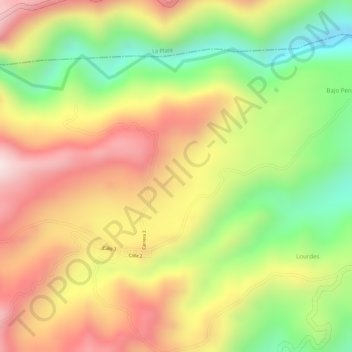
Name: San Rafael topographic map, elevation, terrain.
Location: San Rafael, Lourdes, La Argentina, Huila, Colombia (2.17493 -76.06418 2.19493 -76.04418)
Average elevation: 1,859 m
Minimum elevation: 1,611 m
Maximum elevation: 2,067 m