
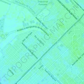
Aramburu topographic map
Interactive map
Click on the map to display elevation.
About this map
Name: Aramburu topographic map, elevation, terrain.
Average elevation: 53 m
Minimum elevation: 50 m
Maximum elevation: 55 m
Other topographic maps
Click on a map to view its topography, its elevation and its terrain.
Resistencia
Argentina > Chaco > Resistencia
Resistencia, Departamento San Fernando, Chaco, Argentina
Average elevation: 51 m