
Otway topographic map
Interactive map
Click on the map to display elevation.
About this map
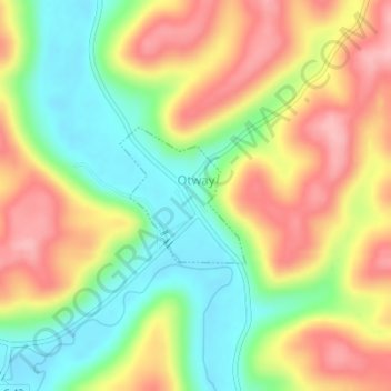
Name: Otway topographic map, elevation, terrain.
Location: Otway, Scioto County, Ohio, United States (38.86066 -83.19417 38.87010 -83.18301)
Average elevation: 241 m
Minimum elevation: 170 m
Maximum elevation: 317 m