
Maluti-a-Phofung Local Municipality topographic map
Interactive map
Click on the map to display elevation.
About this map
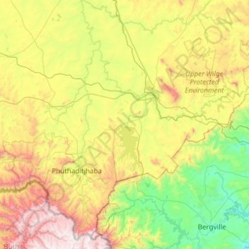
Name: Maluti-a-Phofung Local Municipality topographic map, elevation, terrain.
Average elevation: 1,733 m
Minimum elevation: 1,033 m
Maximum elevation: 3,282 m