
Grandview topographic map
Interactive map
Click on the map to display elevation.
About this map
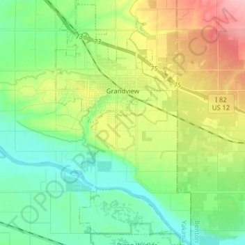
Name: Grandview topographic map, elevation, terrain.
Location: Grandview, Yakima County, Washington, 98930, USA (46.19565 -119.93666 46.28356 -119.87000)
Average elevation: 237 m
Minimum elevation: 194 m
Maximum elevation: 320 m