
Ahucatitlán topographic map
Interactive map
Click on the map to display elevation.
About this map
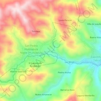
Name: Ahucatitlán topographic map, elevation, terrain.
Location: Ahucatitlán, Atlixtac, Guerrero, México (17.40694 -98.81861 17.44694 -98.77861)
Average elevation: 1,956 m
Minimum elevation: 1,734 m
Maximum elevation: 2,194 m