
Hasselt topographic map
Interactive map
Click on the map to display elevation.
About this map
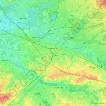
Name: Hasselt topographic map, elevation, terrain.
Location: Hasselt, Limburg, Flanders, Belgium (50.86756 5.21215 50.98128 5.41494)
Average elevation: 41 m
Minimum elevation: 21 m
Maximum elevation: 81 m