
Avirey-Lingey topographic map
Interactive map
Click on the map to display elevation.
Avirey-Lingey
La superficie de la commune est de 1 785 hectares ; son altitude varie entre 185 et 309 mètres.
About this map
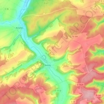
Name: Avirey-Lingey topographic map, elevation, terrain.
Average elevation: 255 m
Minimum elevation: 174 m
Maximum elevation: 322 m