
The Brickpit topographic map
Interactive map
Click on the map to display elevation.
About this map
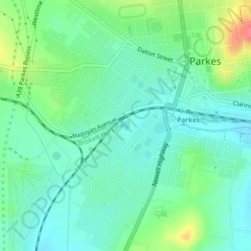
Name: The Brickpit topographic map, elevation, terrain.
Average elevation: 330 m
Minimum elevation: 311 m
Maximum elevation: 376 m
Other topographic maps
Click on a map to view its topography, its elevation and its terrain.
Lake Endeavour
Australia > New South Wales > Parkes
Lake Endeavour, Parkes, Parkes Shire Council, New South Wales, 2870, Australia
Average elevation: 465 m