
La Argentina topographic map
Interactive map
Click on the map to display elevation.
About this map
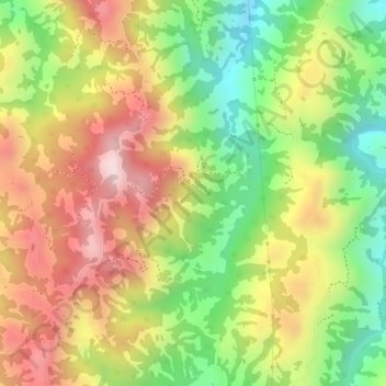
Name: La Argentina topographic map, elevation, terrain.
Location: La Argentina, Ocaña, Norte de Santander, Colombia (8.25808 -73.32888 8.27808 -73.30888)
Average elevation: 1,293 m
Minimum elevation: 1,072 m
Maximum elevation: 1,494 m